Truth matters. Community matters. Your support makes both possible. LAist is one of the few places where news remains independent and free from political and corporate influence. Stand up for truth and for LAist. Make your year-end tax-deductible gift now.
A New Network Of Sensors Will Show LA’s Pollution By Neighborhood

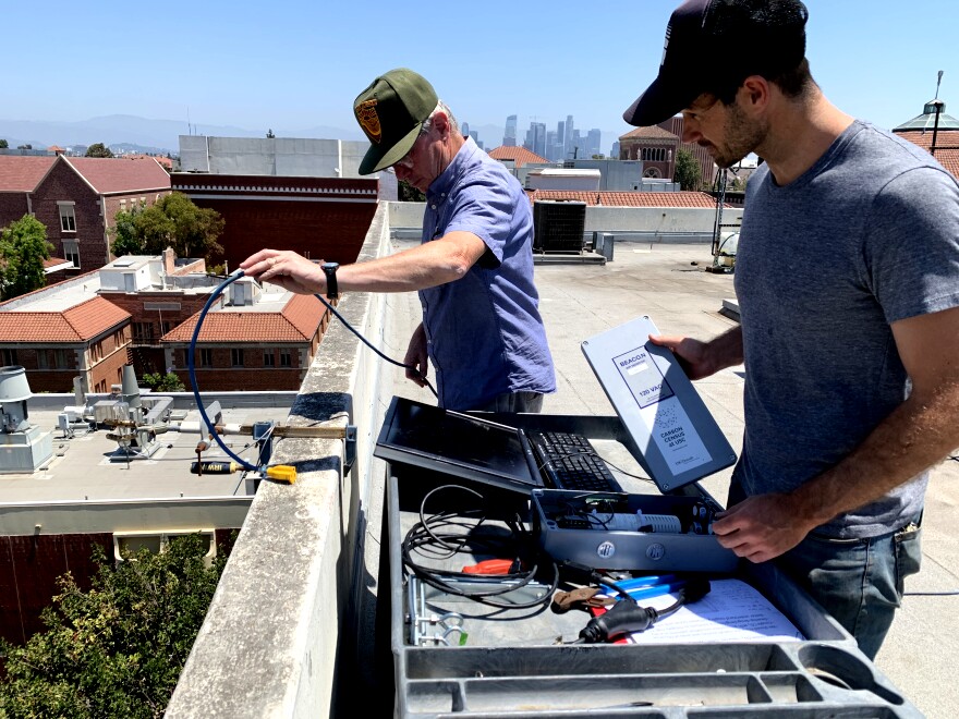
A new network of air pollution sensors are now on the roofs of 13 LAUSD schools. Scientists will use the sensors to measure pollution throughout L.A. on a neighborhood level, including carbon dioxide, a harmful greenhouse gas.
“We really want to figure out CO2 distribution in the city and where it is coming from,” said Will Berelson, an earth science professor at the USC Dornsife College of Letters, Arts and Sciences who is working on the project.
“Is the move toward electric vehicles or the use of mass transportation, is that impacting the amount of CO2 that’s emitted by the city? To answer that question you have to make the baseline measurements to understand the rates of CO2 emission today,” Berelson said.

The network of sensors will also measure the concentration and movement of particulate matter, ozone, nitrous oxide, and other compounds that can impact respiratory health.
The sensor data will also help school officials determine when students should stay indoors to avoid particularly toxic air and aid in deciding where and what kind of trees to plant in Eastside communities, which has fewer trees than other neighborhoods

Berelson says the 13 sites were chosen to cross varying socioeconomic areas of the city and different vegetation systems to help determine how much L.A.’s urban trees impact the air quality around them.
Data will be automatically sent from the sensors to researchers via the internet. Berelson said the general public will also be able to see real time data on their website this fall.


